OxLand-Land & Litigation Management Solution

Empowering Industry Through Digital Transformation
- High Level Accuracy in Vehicle License Plate Recognition

Geospatial Solutions & Services Company in India
- Looking for a reliable geospatial services company? Oxbow Intellect delivers end-to-end geospatial services and solutions, including WebGIS development, UAV drone mapping, LiDAR analytics, and custom spatial software. Contact our experts today.
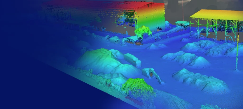
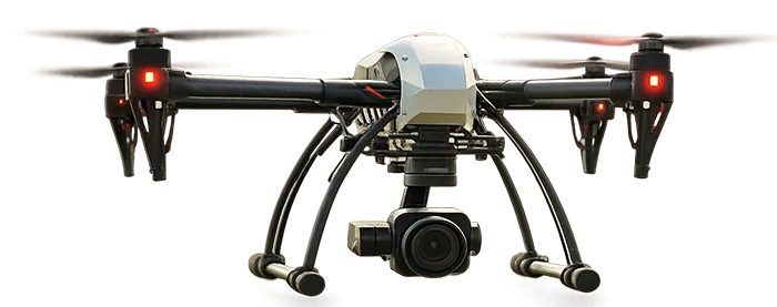
Accurate Stockpile Volumetrics with Drone & LiDAR Technology
- Aerial intelligence transforming how you track material volumes
PCI-02
Volume: 2242.7
LV-04
Volume:542.2
LV-04
Volume:542.2
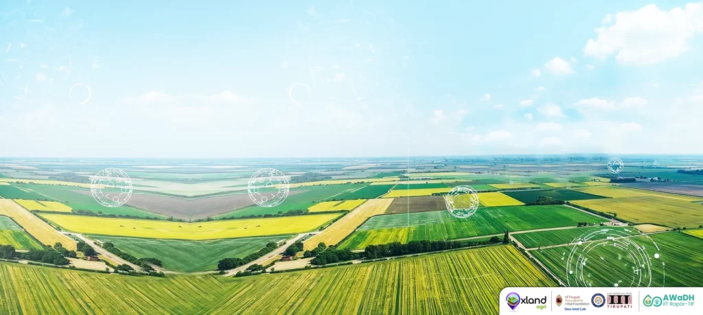
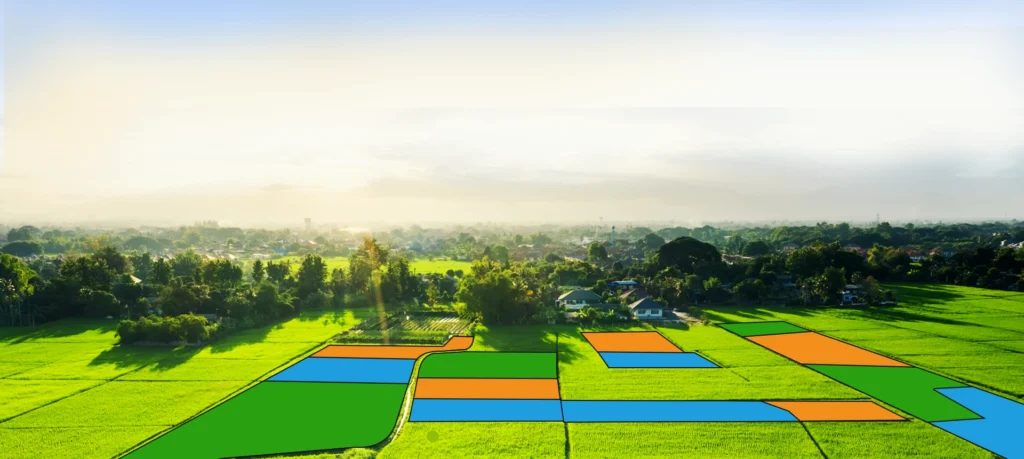
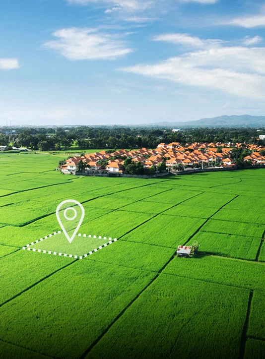
Transforming Agricultural Land Monitoring through Geospatial Intelligence
- One Stop solutions for Land Management
Who We Are
Driving Progress with Smart Land Management, Geospatial Solutions & Industrial AI in India
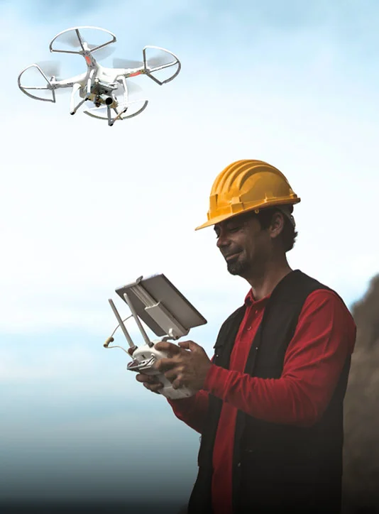
As a geospatial services company in India, we combine deep expertise in geospatial technologies, land management, and drone-based mapping and monitoring to deliver smart, scalable solutions for industry, mining, and real estate. Our advanced systems help unlock land potential, streamline mining operations and stockyard management, and enhance industrial process efficiency through AI-driven insights.

Acres of Land Data Digitally Managed

Stockpiles Inspected Using Drones

Industrial AI Projects Successfully Delivered

Mines Monitored with Drone Intelligence

Industries & Plants
◆ Land Acquisition Monitoring & Land Records Management
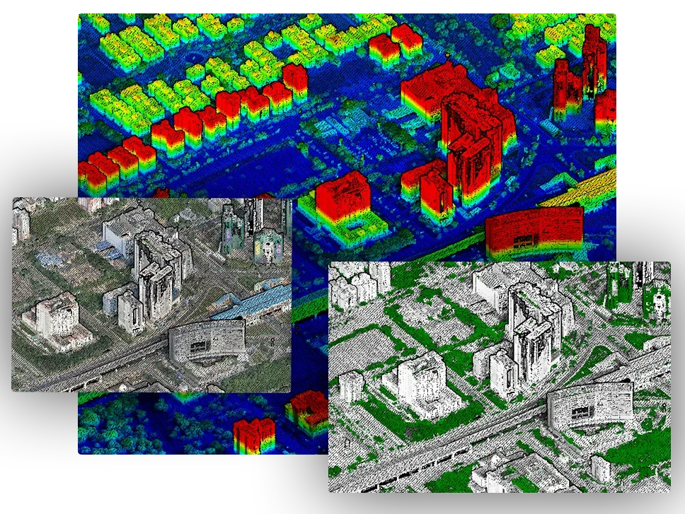
◆ Drone & LiDAR Based Inspections and 3D Model Generation
◆ Industrial AI Implementation & Digital Enablement
◆ Logistics Monitoring & Workflow Automatio

Mining
◆ Digital Land Management
◆ Drone & LiDAR Based Inspections and 3D Model Generation
◆ Stockpile Volumetric Analysis
◆ Haul Road Condition & Mine Safety Analysis

Agriculture
◆ GIS-Based Land Management
◆ Agri Land Acquisition Monitoring
◆ Crop Classification & Yield
Monitoring
◆ Plant Health & Stress Detection
Real Estate & Infrastructure
◆ Land Acquisition Monitoring
◆ Land Disputes Manement
◆ Drone-Based Construction
Supervision
◆ Progress Tracking & Site Monitoring
Forest Protection & Ecology
◆ Afforestation & Deforestation
Mapping
◆ UAV & LIDAR based inspections
◆ Forest Boundary Demarcations
through DGPS & UAV
◆ Tree Counting & Vegetation
Mapping
Government & PSUs
◆ Land Acquisition Monitoring & Land
Records Management
◆ Advanced Drone & LiDAR Survey
Inspections
◆ Custom Application Development
◆ AI Implementation & Digital
Enablement
Our Area of Expertise
Powering Land & Industry Through Geospatial solutions, AI/ML, and Aerial Intelligence
Land is the foundation of every industry, infrastructure, and future investment. At Oxbow Intellect, we geospatial services company in India that empowers organizations with Geospatial Intelligence, AI/ML, and Aerial Technologies to transform land into actionable insights — enabling smarter planning, faster decisions, reduced risks, and sustainable growth.


Case Studies
Client satisfaction is one of our highest priorities, we focus on our commitments, till fulfilled.

AI & Image Processing
Industries

GIS Survey & Mapping

Digital Data Management
Systems

UAV based services
Projects

Weighbridge Automation

Land Bank Management
Assets
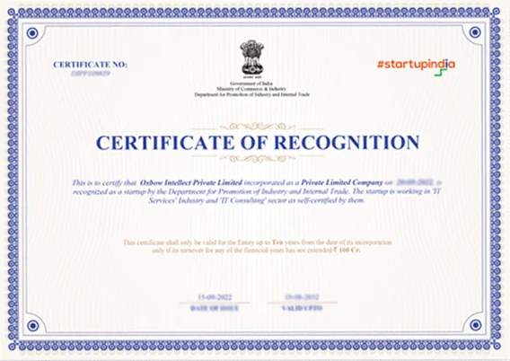
We are supported by
Oxbow Intellect is a Startup India-registered company recognized by DPIIT. We work on innovative ICT-enabled solutions towards enhancing the technological development.
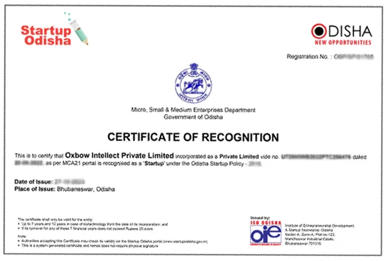
We are supported by
Leveraging cutting-edge advancements in fields such as artificial intelligence, machine learning, and blockchain, Oxbow Intellect feels proud to be a Startup Odisha recognized company.
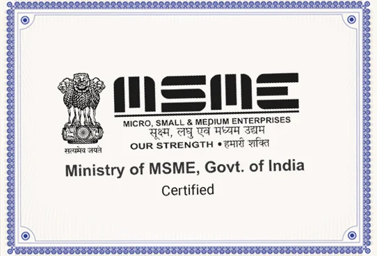
We are supported by
Oxbow Intellect is a MSME certified company focusing on providing services and solutions towards digital transformation growth of Industrial & rural sectors.

We are supported by
Oxbow Intellect is certified with ISO 9001:2015 & ISO/IEC 27001:2013. Team Oxbow follows protocols while executing a project and always committed to deliver within the time schedule maintaining the quality standards.
Latest Blog
Stay updated with the latest in Land Management, Drone-based solutions, and Geospatial advancements.
Our Clients
We love to work with clients to develop unique & innovative solutions