

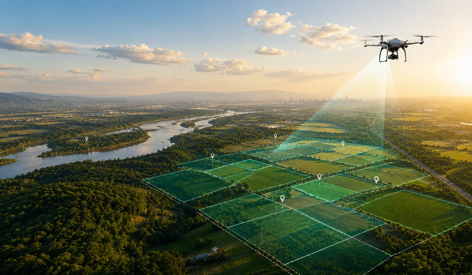
Land Management Services in India
Oxbow provides end-to-end land management services, built for enterprises and PSUs that can't afford delays. Our land management services in Kolkata, India includes land and litigation management, household survey and data collection, liaising & coordination, land record digitization, land survey and mapping, documents management, R&R management.
Trusted by
Enterprises, PSUs and developers across mining, power, renewables, steel and infrastructure rely on us to keep their land moving.





Land is the single biggest asset and the single biggest risk — behind any industrial, infrastructure, or public-sector project.
A missing record, an unresolved dispute, or a stalled acquisition can hold up a project for months. Oxbow Intellect exists to make sure that doesn't happen.
Our skilled team can manage a huge number of records and data and makes this process smooth. Oxbow, land management service in Kolkata, India; we not only manage tasks, but our land management software is also the best in the market. We don't just sell you software and leave you to run it.
We combine on-ground liaising, drone and GIS survey, AI-driven analysis, and our own digital platform — OxLand — into one accountable service that takes your land assets from acquisition through to long-term monitoring.
One partner, one dashboard, no disconnected vendors.
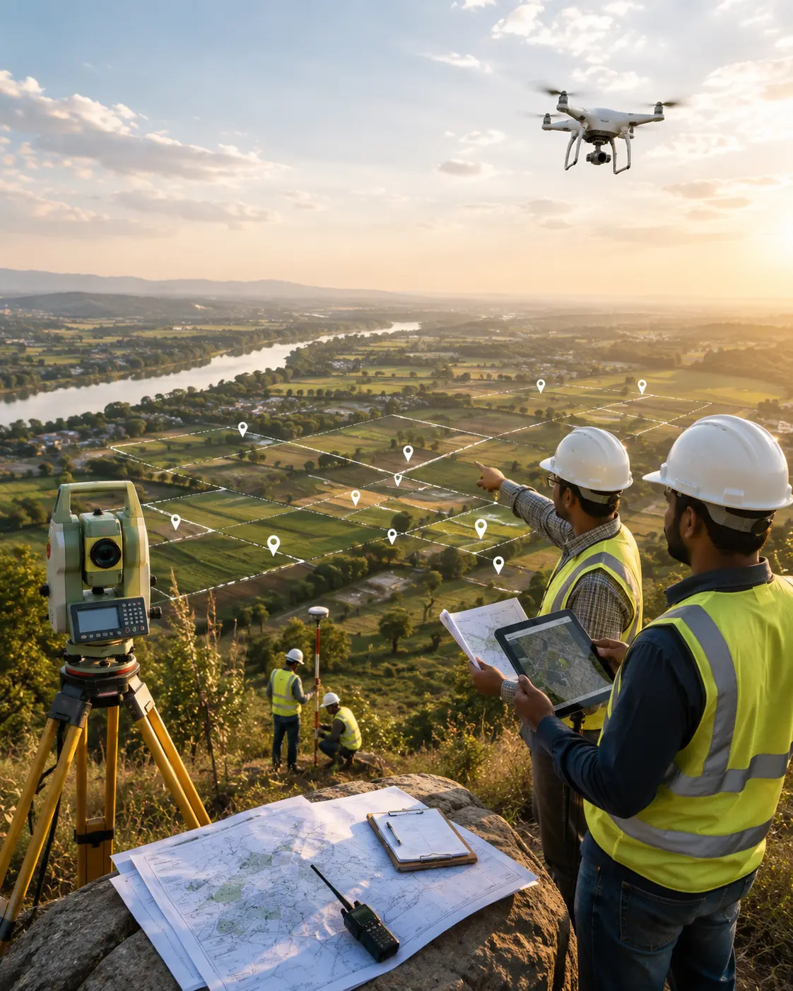
Land Acquisition & Liaising
We manage the ground reality of land acquisition — coordinating with government departments and private stakeholders, collecting revenue records and updated maps, and negotiating on your behalf so acquisition moves at the pace your project needs, not the pace of bureaucracy.
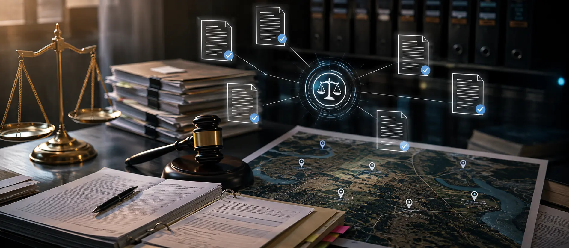
Land & Litigation Management
Legal disputes are the most common reason land projects stall. We track court cases, encumbrances, and legal documentation in one place, giving your legal team early visibility into risk instead of last-minute surprises.
Land Records Digitization
As a land management service provider in Kolkata, India, we convert paper-based title deeds, survey maps, and tax records into a secure, searchable digital system. Real-time access to ownership history and encumbrance status means fewer disputes and faster due diligence — for your team, your legal counsel, and your auditors.
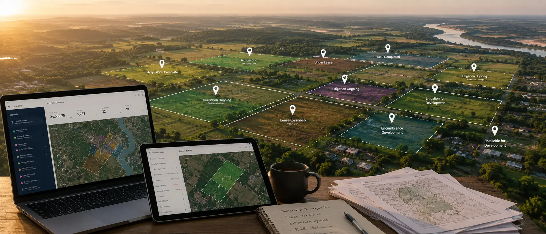
Land Bank Management
Managing hundreds or thousands of acres across many locations needs more than a spreadsheet. We give you one structured, GIS-based view of your whole portfolio, at parcel level and at portfolio level.
- Ownership and acquisition status
- Land use and current utilisation
- Lease status, renewals and payments
- Litigation and encumbrance status
- R&R status
- Encroachment and boundary issues
- Documentation and compliance
- Location and project mapping
Your board sees the portfolio. Your site team sees the parcel. Same data.
Rehabilitation & Resettlement (R&R) Management
Land acquisition succeeds or fails on how well you manage the people affected by it. We plan and execute community-centric resettlement — fair compensation strategies, livelihood restoration, and transparent, culturally sensitive relocation — so your project stays compliant, and your relationships with local communities stay intact.
Document & Records Management
Every deed, permit, and compliance document — organized, indexed, and retrievable in seconds, whether you're managing one site or a land bank spread across states.
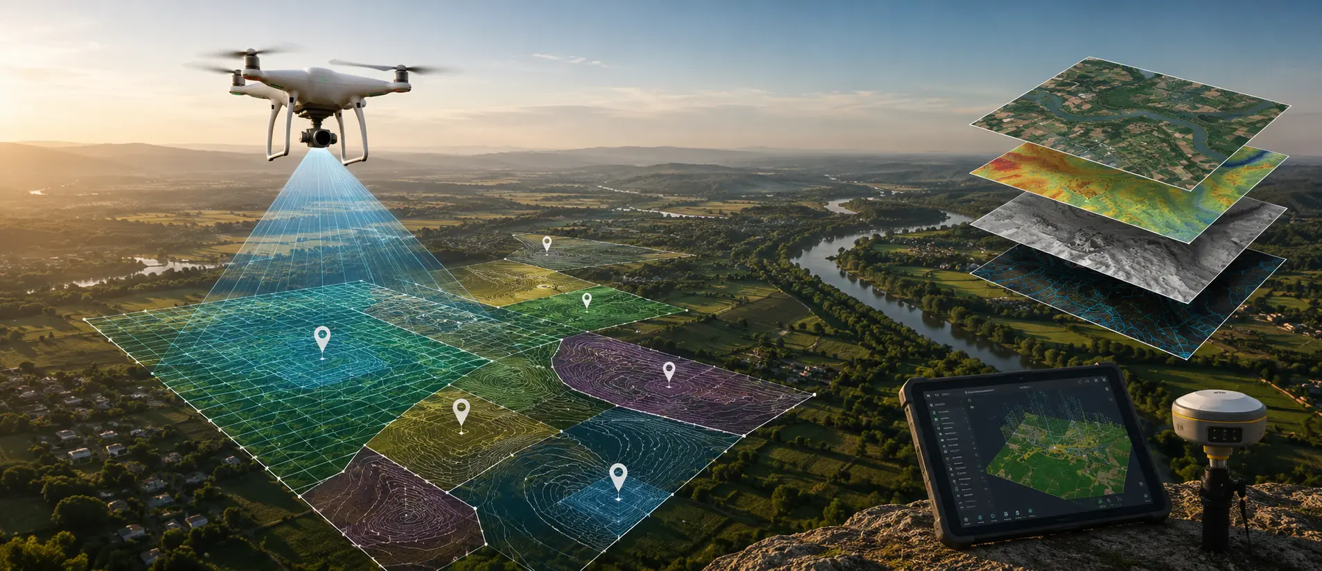
GIS Mapping & Drone-Based Survey
Oxbow, land management company in Kolkata, India: Our high-accuracy geospatial survey and UAV-based mapping give you verified boundaries, encroachment detection, and volumetric data — critical for mining, industrial estates, and large infrastructure corridors where physical survey alone is too slow.
- Boundary and parcel mapping
- Topographic and contour survey
- Orthomosaic generation
- Encroachment detection
- Land-use mapping and change detection
- Volumetric analysis for mining and stockpiles
Continuous Land Monitoring
Land management does not end when the sale deed is signed. Once land is your asset, it has to be watched and protected. We combine satellite data, drone flights and field verification to flag change before it becomes a dispute.
- Encroachment and unauthorised occupation
- Boundary changes
- Land-use change around your site
- Construction and development progress
- Right-of-way status
- Site and environmental conditions
This turns land management from a one-time purchase activity into an ongoing land intelligence function.
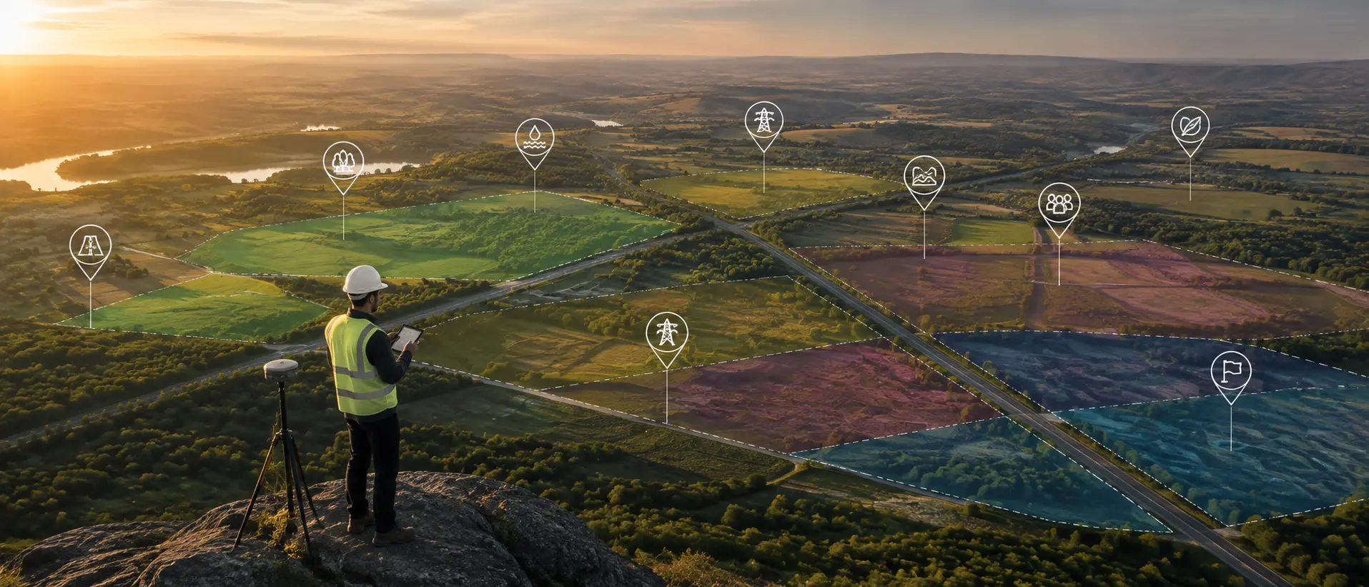
Land Identification and Suitability Assessment
Before you spend money on land, you need to know whether the land can carry your project. We assess candidate sites using GIS, spatial data and physical field checks, and tell you what will go wrong before you commit.
- Land use and land cover
- Parcel size and how well parcels join up
- Road access and connectivity
- Terrain and slope
- Distance to power, water and other infrastructure
- Ownership pattern and number of owners
- Environmental and site constraints
- Early red flags on title
You get a shortlist you can trust, not a map you still have to verify.
Land Aggregation and Parcel Consolidation
Big projects rarely sit on one clean parcel. They sit on fifty, or five hundred, owned by different people with different papers. We assemble them, parcel by parcel, and show you exactly where each one stands.
- Parcel identification and ownership mapping
- Parcel-wise status tracking
- Landowner outreach and coordination
- Purchase or lease negotiation
- Aggregation progress against your target
- One consolidated view of the assembled land bank
Everything above feeds into OxLand
As a land management services provider in India our GIS-integrated platform has blockchain-secured records, ERP integration, and AI-assisted decision support. It's the single dashboard where you track land status, compliance, disputes, and stakeholder communication — from pre-acquisition to long-term asset protection.
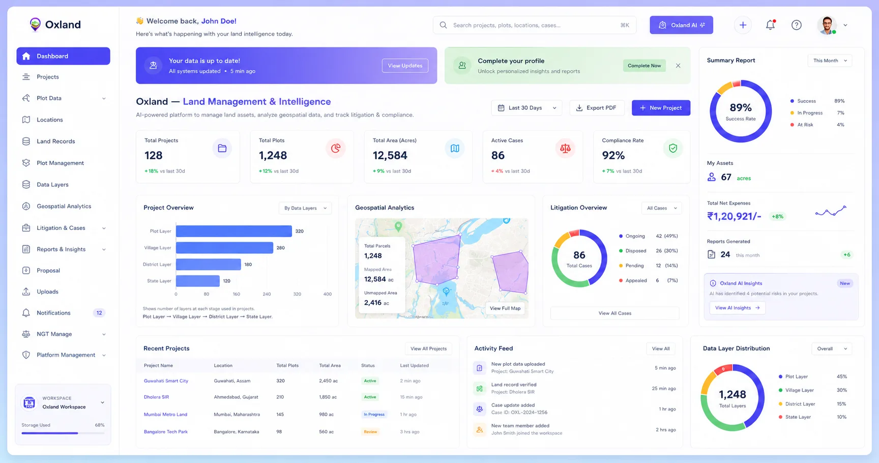
- Store and search digitized land records
- See every parcel on a GIS map
- Track acquisition progress, parcel by parcel
- Monitor litigation, disputes and encumbrances
- Track R&R households and entitlements
- Manage leases, renewals and payments
- Watch encroachment and land change over time
- Capture field data straight from a mobile app
- Connect land data to your existing ERP
- Records stored in a secure, tamper-evident system
We do not just sell you the software and leave you to run it. Most land data is wrong before it is digital, and cleaning it is field work. That is why we run both.
Explore OxLandWhy Choose Oxbow for Land Management Services in Kolkata, India
Same discipline, different pressure points
Six stages, in the order land actually moves
We study your land portfolio, your existing records and your project timeline, and mark the risk areas.
We shortlist suitable land using GIS, spatial data and field checks.
Ground, GPS and drone survey, plus digitization of old records, builds one source of truth.
We manage negotiation, permissions, aggregation and government coordination on your behalf.
We track litigation and encumbrances, and run R&R with full community engagement.
OxLand gives you ongoing visibility into land status, encroachment and compliance, long after acquisition is complete.
Questions About Our Land Management Services? We Have Answers.
Get clear answers to common questions about land records, surveys, GIS mapping, land acquisition, and other land management services. Our experts are here to help you make informed decisions.
What is included in land management services?
What is a land suitability assessment?
Do you work only in West Bengal, or across India?
How do you help renewable energy developers with land?
How long does land acquisition take?
What is land bank management?
Do you monitor land after acquisition?
What is land records digitization and why does it matter?
Can OxLand connect with our existing ERP?
Do you handle land disputes and court cases?
Can we buy only the software, without the services?
Turn your land data into land intelligence
Your land portfolio already holds the answers about ownership, risk and project progress. It is just scattered. We bring it together and keep it accurate.
Whether you are acquiring land for a renewable project, managing an industrial land bank, building infrastructure or protecting land you already own, tell us what you have. We will come back with a clear view of your risk areas and a plan to fix them.