Vegetation mapping is an essential component of environmental management, urban planning, and conservation efforts. Traditional methods, however, often require extensive time and labor, limiting their efficiency and accuracy, especially across vast landscapes. Today, advancements in technology are revolutionizing how we map and manage vegetation. By integrating UAVs (Unmanned Aerial Vehicles), Deep Learning, and GeoAI (Geospatial Artificial Intelligence), researchers and planners can now obtain detailed insights into vegetation patterns and health with unprecedented precision and speed. In this blog, we will explore how these innovative technologies work together to transform vegetation mapping.
Importance of UAVs in Modern Vegetation Mapping
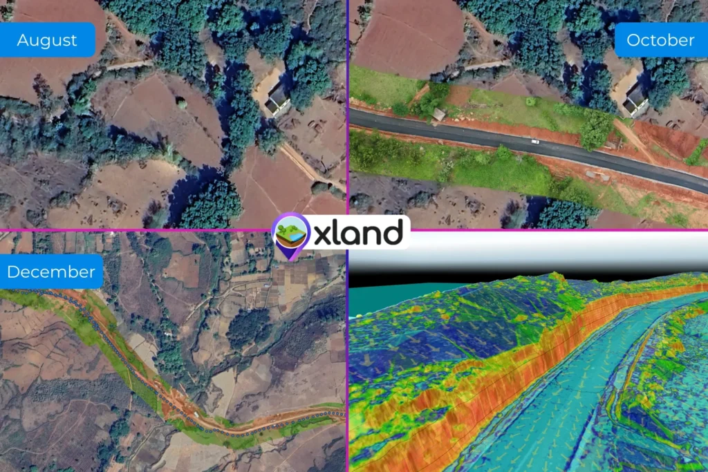
UAVs, or drones, have become a crucial tool for vegetation mapping. Unlike traditional ground surveys, UAVs can capture high-resolution, real-time data over large areas, providing detailed images of landscapes that might otherwise be difficult to access. With UAVs equipped with RGB (Red, Green, Blue) sensors, the aerial data collection process becomes faster and more efficient.
However, analyzing these vast amounts of data requires more than just high-resolution images. UAV-collected data is most useful when processed with advanced algorithms that can differentiate vegetation from other land cover types, especially in complex landscapes with mixed land use. Here, Deep Learning and GeoAI models prove invaluable.
The Power of Deep Learning and GeoAI in Vegetation Analysis
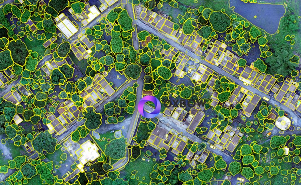
Deep Learning models have emerged as powerful tools for image recognition and classification. When applied to UAV data, these models can analyze RGB images to differentiate between vegetation types, identify canopy structures, and recognize land cover variations.
GeoAI models are trained on extensive datasets to identify specific landscape features and classify them based on vegetation types. With this approach, researchers can create detailed vegetation maps that support informed decision-making for conservation and urban development.
A few key applications of Deep Learning and GeoAI in vegetation mapping include:
Tree Canopy Extraction: By analyzing the unique textures and colors associated with tree canopies, Deep Learning models can extract tree cover data from UAV images. This information is essential for forest monitoring, urban green space management, and even climate resilience planning.
Green Coverage Identification: GeoAI models can analyze color and shape patterns within RGB images to separate vegetation from built-up areas, roads, and other non-green land cover. This ability is particularly valuable for urban planners, helping them make data-driven decisions about green infrastructure.
Vegetation Classification: Deep Learning algorithms, trained on vast datasets, can distinguish between different types of vegetation, such as grasslands, shrubs, and forests. This classification aids in land management and conservation planning, offering a comprehensive view of local biodiversity.
The integration of UAVs, Deep Learning, and GeoAI has brought about a new era in vegetation mapping. These technologies allow for highly accurate, scalable, and efficient monitoring of vegetation, enabling better-informed decisions for conservation and urban planning. As UAV technology continues to advance, vegetation mapping will play a critical role in supporting sustainable development and climate resilience initiatives. With these innovations, we’re not just seeing the landscape from above; we’re gaining insights to protect and improve it for generations to come. If you’re looking for efficient UAV/drone services, reach out to Oxbow Intellect. With decades of experience in forest and vegetation mapping, we have helped numerous clients achieve improved land use planning, sustainable urban development, environmental monitoring, and more.