Home / UAV/Drone Services / Forest & Vegetation Mapping
Cutting-Edge and Data-Driven Forest and Vegetation Mapping
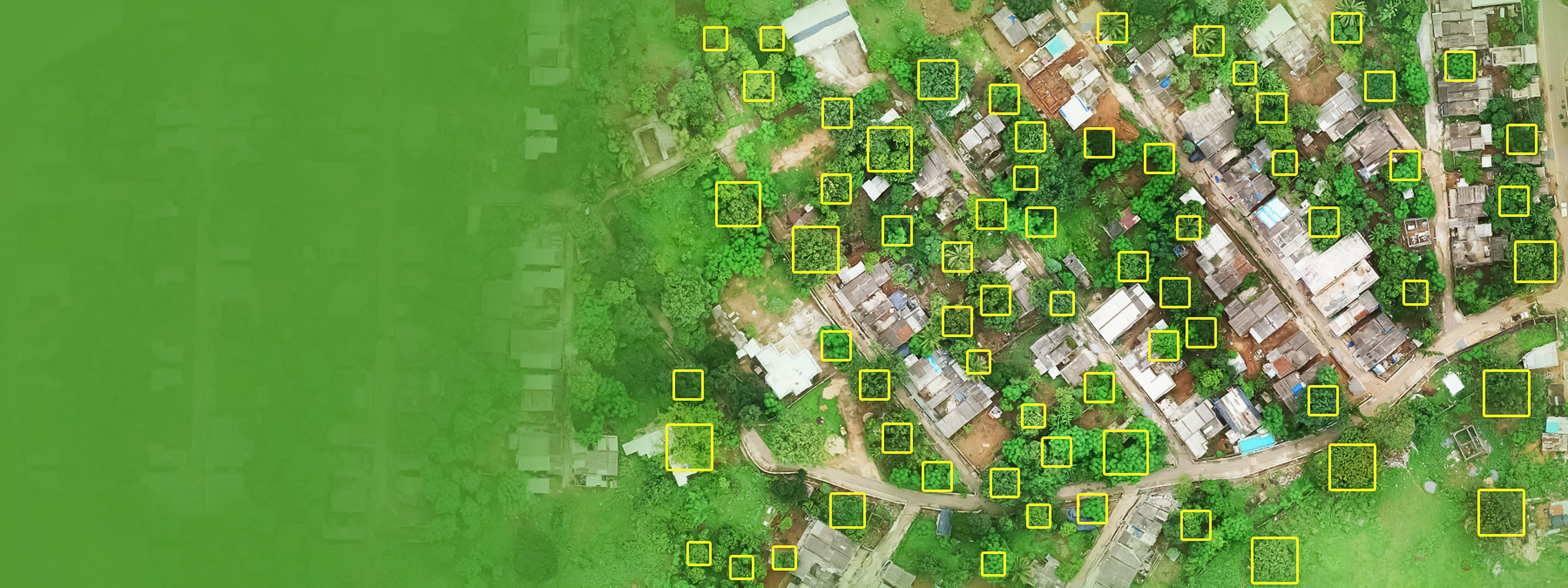
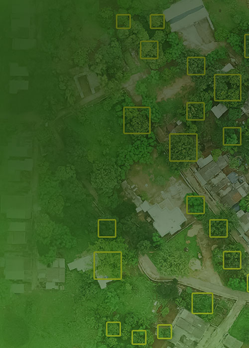
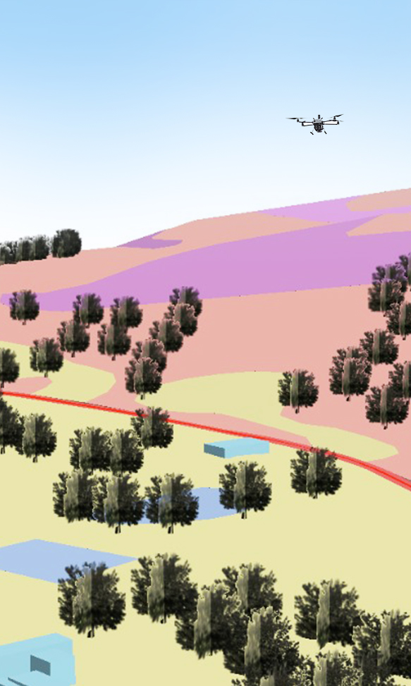
Forest and vegetation mapping provides detailed insights into forest cover, biodiversity, and land-use changes, enabling better decision-making for environmental protection. This approach supports drone-driven deforestation monitoring, tracks habitat degradation, and assesses the impacts of climate change on green cover. By identifying at-risk areas, it aids in drone habitat mapping and conservation, promotes sustainable land-use practices, and enhances wildlife preservation efforts.
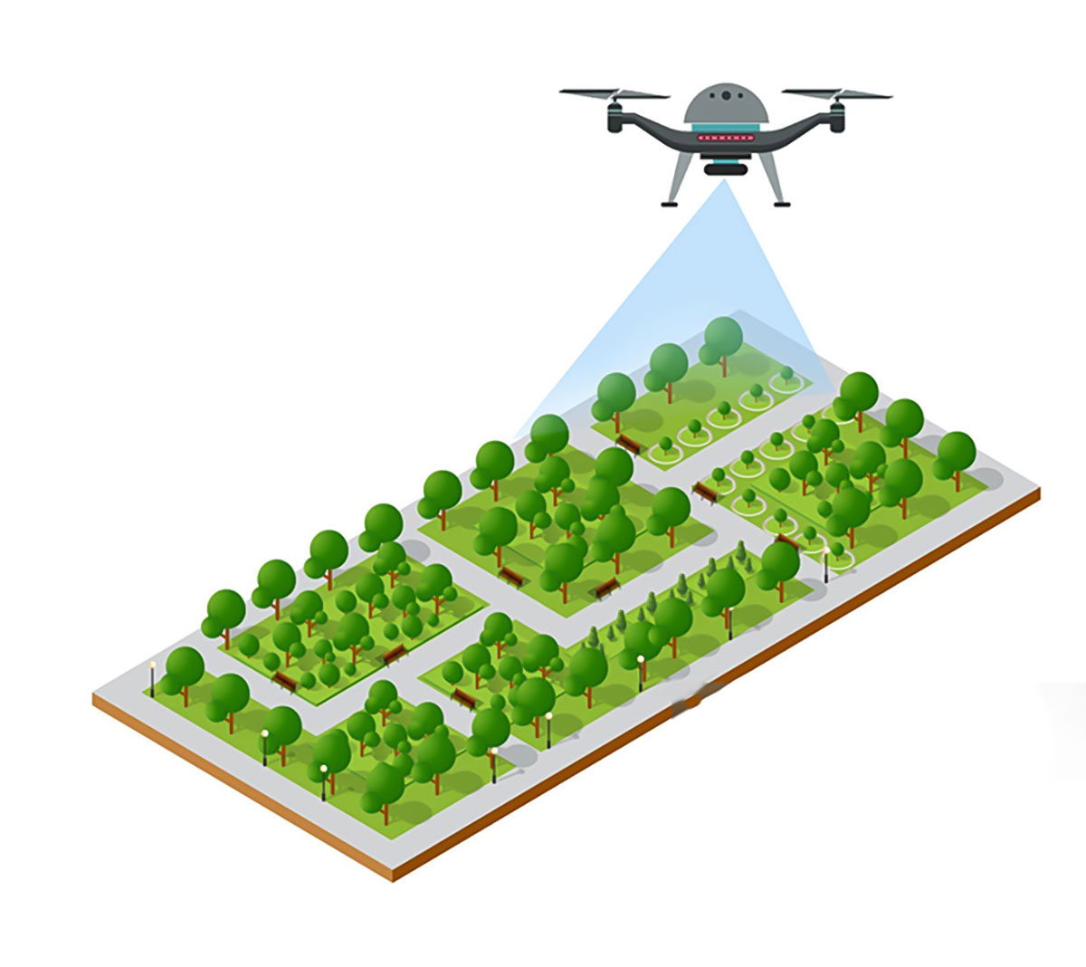
Oxbow Intellect leverages cutting-edge drone technology and AI-powered analytics to deliver precise forest and vegetation mapping services. Our UAVs provide high-resolution aerial imagery and multispectral data, capturing intricate details of forest ecosystems. With capabilities such as UAV-based wildfire risk analysis, UAV-enabled vegetation health assessment, and aerial biodiversity mapping services, we help governments, environmentalists, and researchers address critical ecological challenges.
Our drone mapping solutions support real-time monitoring, customizable data outputs, and advanced reporting, empowering stakeholders to take informed actions against issues like illegal logging, biodiversity loss, and land misuse. Additionally, our tools assist in drone-based sustainable agriculture planning, enabling better crop management and resource allocation.
Versatile Applications of Our Forest and Vegetation Mapping Solution
-
01
Deforestation Monitoring
Engage in proactive drone-driven deforestation monitoring to track and analyze forest loss, helping identify and mitigate illegal logging activities.
-
02
Wildfire Risk Assessment
Use UAV-based wildfire risk analysis to detect high-risk zones, monitor vegetation density, and implement preventive strategies for fire outbreaks.
-
03
Biodiversity Conservation
Support drone habitat mapping and conservation with our aerial biodiversity mapping services to protect endangered species and maintain ecological balance.
-
04
Agricultural Planning
Improve crop management and land use through drone-based sustainable agriculture planning and UAV-enabled vegetation health assessment to ensure long-term sustainability.
Features that Set Our Forest & Vegetation Mapping Apart
Our innovative mapping solution combines advanced drone technology with expert analysis to support environmental sustainability. Here’s what makes our services stand out:
-

AI-driven insights
-

Cost-effective approach
-

Customized mapping solutions
-

High-resolution imaging
-

Multispectral and thermal sensors
-

Real-time monitoring
-

Scalability across terrain
What Our Clients Say

Tata Steel Limited – HOD, Coke Plant
The drone surveys from Oxbow Intellect have made coal stockyard monitoring better and hassle-free for us.

Vedanta Aluminum – Head, Coal Handling
We rely on Oxbow Intellect’s drone system for accurate stockpile data. It saves us both time and effort.

BALCO – Associate Manager
Their volumetric estimation helped us avoid guesswork. The reports are clear and very dependable.

Eastern Coalfields Limited – HOD, Land
Oxbow Intellect’s drone inspections gave us detailed mine insights without putting people at risk.

ESL Steel Limited – RMHS Head
Stockpile checks are now smoother and more accurate with Oxbow Intellect’s automated drone solution.

SAIL – HOD, Contracts
We value Oxbow Intellect as a trusted partner for LiDAR inspections.
Our Clients
We love to work with clients to develop unique & innovative solutions.