
Trusted by our customers & partners
OXLAND
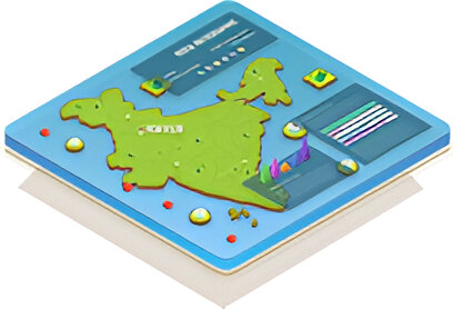
A Geo-AI Powered Solution for Smarter Land Management
OxLAND is a cutting-edge geospatial solution designed to revolutionize land management through advanced mapping, data analytics, and AI-driven insights
-
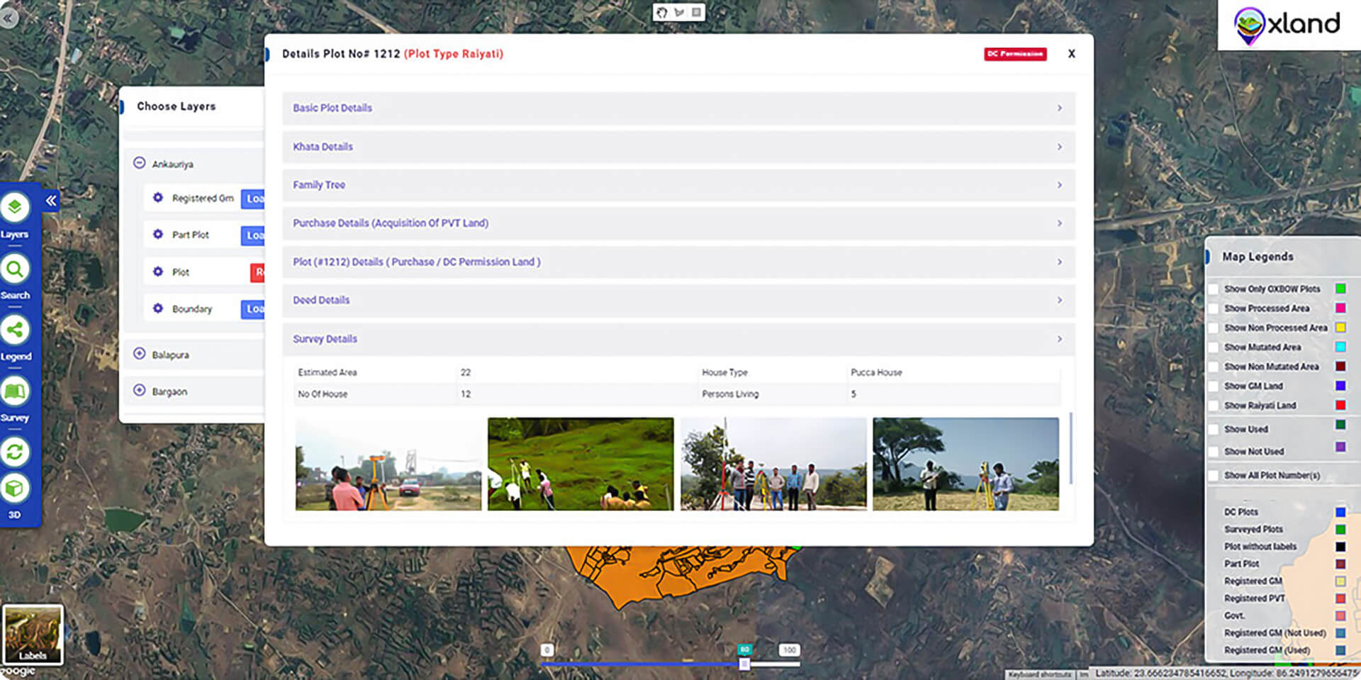
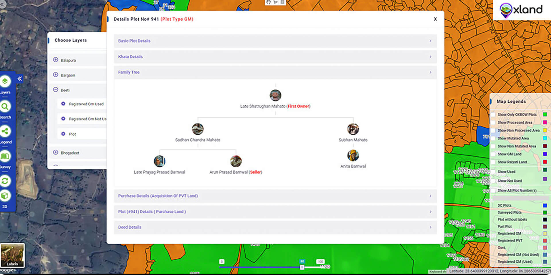
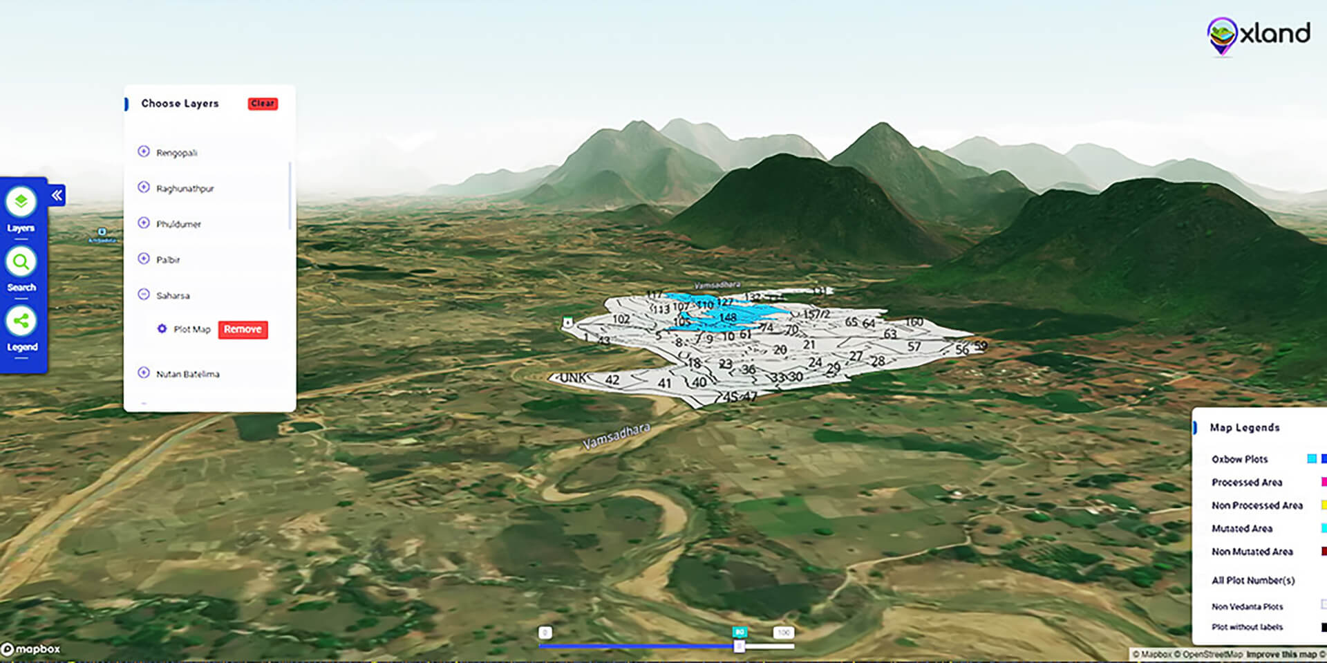
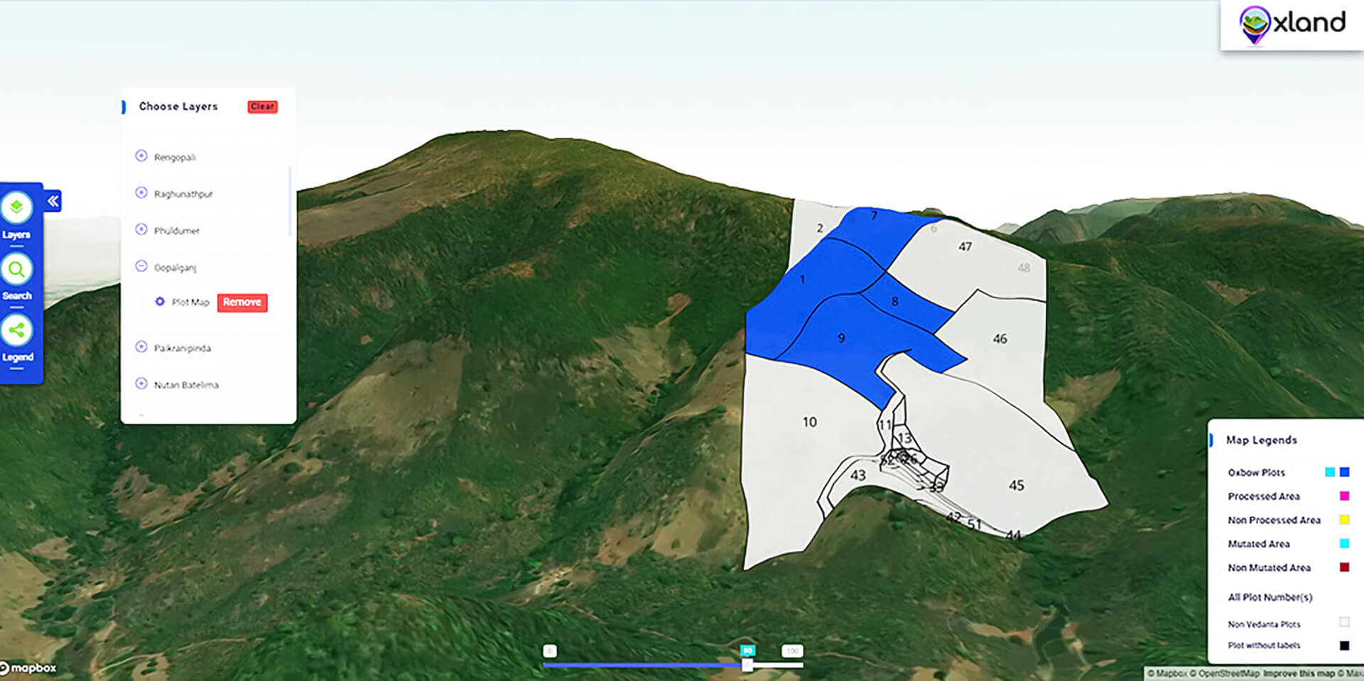
Plot/Parcel
-

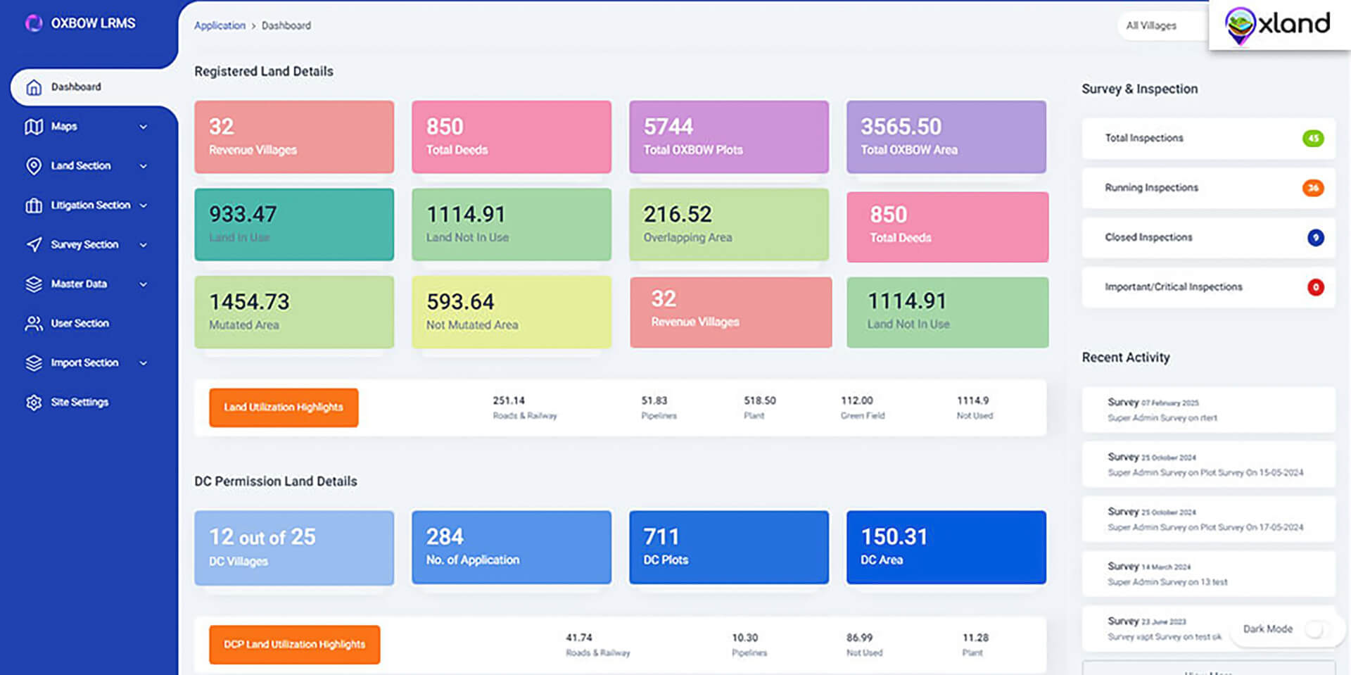
Dashboard
-
Land Record
-
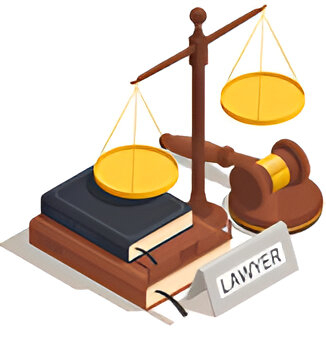
Legal & Litigation
-
GeoAI
-
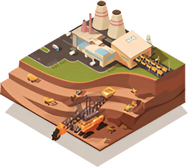
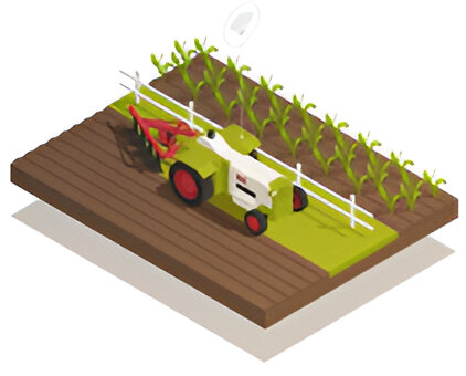
Mining
-

Reports
-
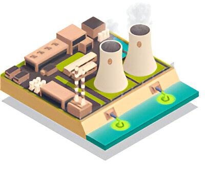
Industries
-

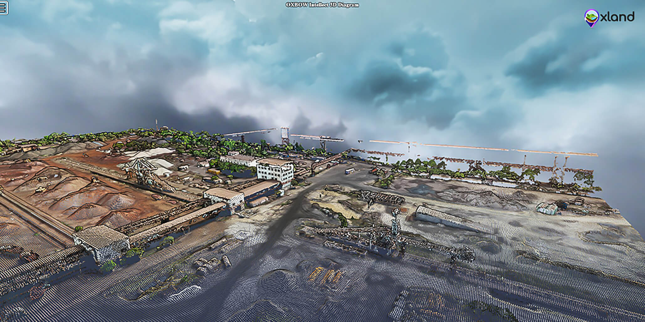
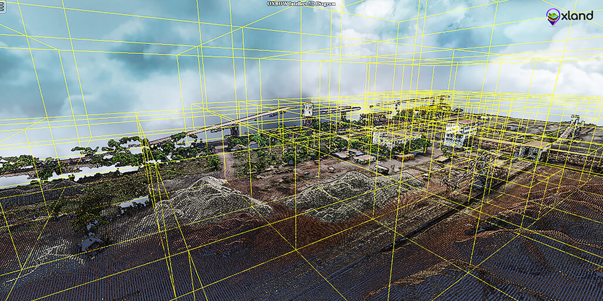
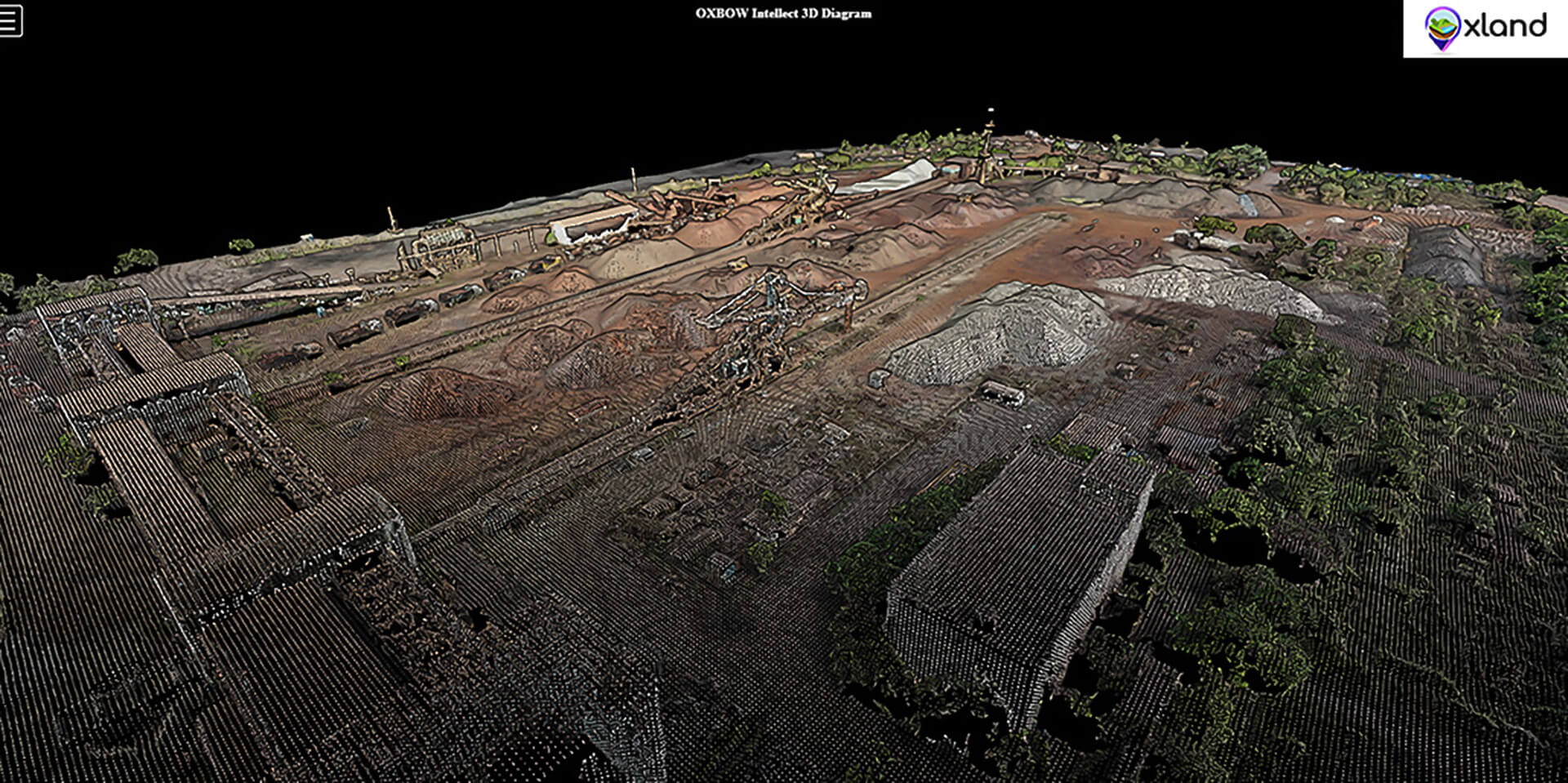
Aerial/Drones
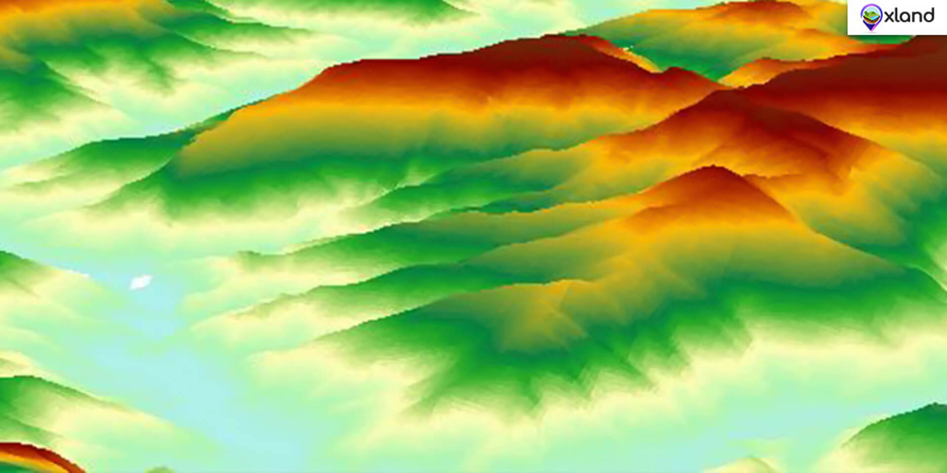
Advanced Survey, Mapping & WebGIS
GIS can assist development projects with it’s mapping and modelling capabilities which reduces both time & efforts of human being and most importantly in a cost saving manner.

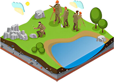
Land is the most important asset on earth, everybody wants to protect and secure their owned land bank. Land Survey is the only technique of inspection through which it is easily identified the accurate location of your property lines.Through various precise measurements by surveying instruments, the topographical and cadastral boundaries as well as several assets can be surveyed and mapped. The three-dimensional position of points and the distances and angles between them can also be captured.
In The Spotlight