


OxLand: Integrated Land and
Litigation Management System
Benefits:
Why OxLand?
Key Benefits of Our Land Acquisition Process Automation
- Centralized access to land bank data and its associated documents
- Analyzing land allotments across multiple regions
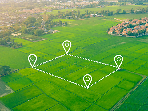
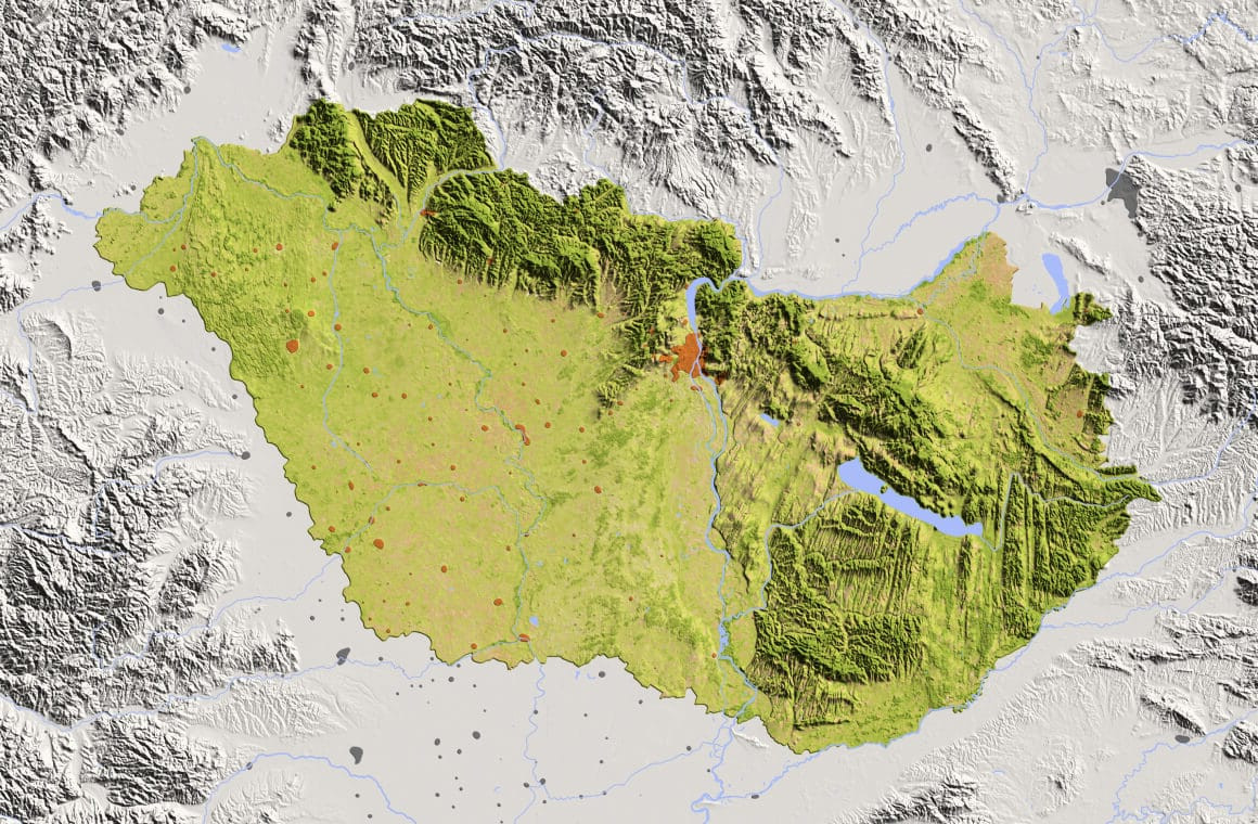
- Identification of potential development zones through GIS maps
- Digital cadastral map integration with government and revenue records
- Accurate property measurements and building footprint data
- GIS land encroachment tracking with map-based visualizations
- Ongoing monitoring of all acquisition stages with automated alerts
- R&R activity tracking (families opted, received, relocated, etc.)
- Real-time data analytics with dashboards, charts, and graphs
- Interactive land cost analysis tools based on current market rates
- Blockchain-secured land transactions ensuring tamper-proof data


How It Works: Mapping Meets Technology
The Land Section is in full sync with advanced GIS mapping, offering:
- Full visualization of parcel data and acquisition stages
- Thematic and color-coded maps for easy layer identification
- Integration with satellite imagery and aerial views
- Visualization of modern parcel fabrication and real-world scenarios
- Geofenced-based data capturing and in-situ land use verification
- Field survey data for live monitoring and validation
Know-How Features
OxLand by Oxbow Intellect is the future of land acquisition process automation—empowering stakeholders with a powerful, secure, and scalable solution.

Acquisition
Assessments
- Stage wise land acquisition status with payment
- Monitoring of plots at every level

Interactive Reports
& Dashboard
- Displaying updated data in interactive dashboards
- Query based results with filters-based
Digital Library
Management
- Digital library related to individual plot
- Provision of uploading documents and images
Approval Management
- All necessary information visualization on the map.
- Color coded thematic maps helps to identify layers
- Integration with satellite & aerial imagery
- Visualization of modern parcel fabrication data
- Monitoring of land parcels through field survey data
- In-situ or actual situations with respect to land use and ownership.
- Geofenced based data capturing


© Oxbow Intellect. 2026 All Rights Reserved