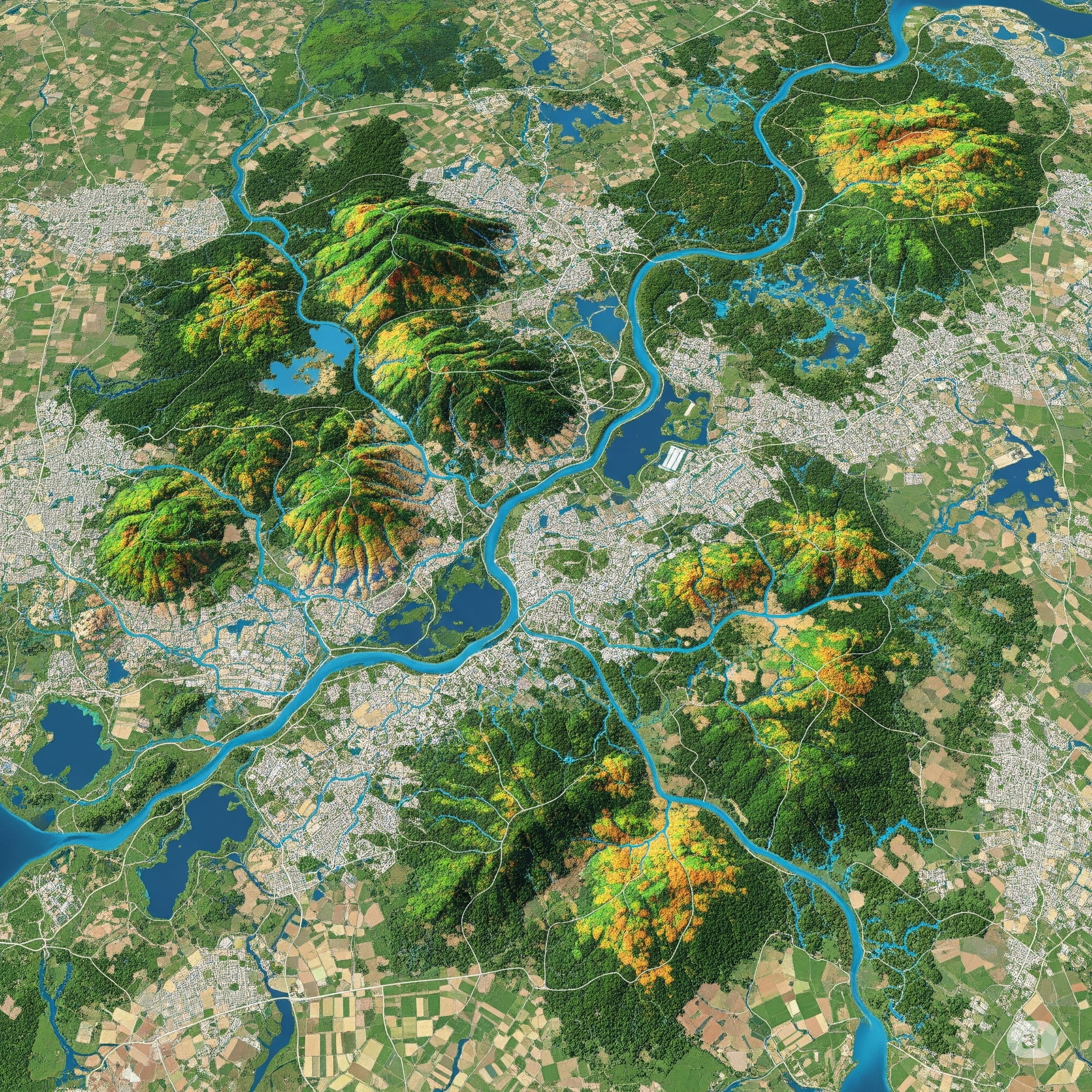
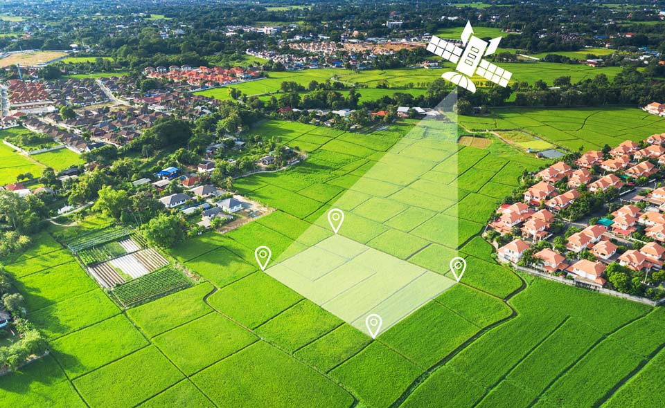
Watershed conditions directly impact industrial operations, particularly in sectors reliant on water usage, discharge, or compliance. Traditional monitoring methods are often fragmented and reactive. GIS-based watershed monitoring, enabled through GIS & mapping services, offers a comprehensive, real-time view, redefining how industries manage environmental exposure and operational risk.
2. Industrial Benefits of GIS-Based Watershed Monitoring
The application of GIS to watershed monitoring delivers direct, measurable advantages across multiple industrial functions. Below are the core areas where industries gain from leveraging GIS capabilities:
A. Enhanced Environmental Compliance and Reporting
Maintaining regulatory compliance is a critical requirement across industries. GIS systems streamline how environmental data is collected, managed, and reported.
- Use GIS mapping services to automate hydrological data logging and documentation
- Create consistent datasets aligned with regulatory formats
- Reduce time spent on audits and inspections
- Support proactive identification of compliance risks
With structured spatial data, compliance becomes less reactive and more integrated into daily operations.
B. Risk Mitigation and Disaster Preparedness
Industries face growing exposure to watershed-related risks, such as flooding or sediment runoff. GIS supports early detection and scenario modelling.
- Map flood-prone and erosion-sensitive areas using GIS and mapping services
- Model seasonal variations and their operational impacts
- Integrate environmental alerts into facility safety protocols
This enables better infrastructure planning and protects critical assets from environmental disruptions.
C. Improved Resource Management and Sustainability Planning
Effective water resource planning depends on understanding dynamic watershed behaviour. GIS tools help align industrial activities with resource availability.
- Track changes in water quality, quantity, and flow using GIS & mapping services
- Optimise water withdrawal based on localised watershed data
- Monitor discharge patterns for environmental alignment
This contributes directly to long-term sustainability strategies and regulatory alignment.
D. Operational Efficiency and Cost Savings
GIS reduces the need for manual data collection and field visits, enhancing efficiency.
- Use remote sensing to monitor watershed indicators continuously
- Integrate GIS dashboards for real-time operational oversight
- Eliminate redundant site assessments and reduce labour overhead
By embedding GIS mapping services into routine monitoring, industries cut costs and streamline decision-making.
E. Site Selection and Infrastructure Planning
Locational intelligence is critical when planning new facilities or expanding operations. GIS offers detailed environmental input early in project design.
- Evaluate watershed health and hydrological risk zones with GIS and mapping services
- Avoid high-impact areas and regulatory complications
- Plan infrastructure with better environmental compatibility
This approach improves long-term site resilience and reduces downstream permitting challenges.
F. Stakeholder Communication and Transparency
Transparent reporting is vital for ESG performance and community relations. GIS makes technical data accessible and visual.
- Present watershed data in intuitive, map-based formats
- Use GIS mapping services to support stakeholder reviews and public reporting
- Align internal and external messaging with verified spatial data
Clear, visual communication builds trust and reinforces environmental accountability.
G. Integration with Industrial Systems
GIS solutions can integrate directly into industrial control, compliance, and asset management systems.
- Connect spatial data to SCADA, ERP, and monitoring platforms
- Enable automatic alerts for environmental thresholds
- Centralise water-related data across departments
Through GIS & mapping services, industries create a unified ecosystem where watershed data informs operations in real-time, improving both responsiveness and strategic planning.
Conclusion
GIS-based watershed monitoring elevates industrial environmental management from static reporting to dynamic oversight. With the support of GIS and mapping services, industries gain control over compliance, risk, and resource use. For companies prioritising resilience and sustainability, integrating these tools is no longer optional—it’s a competitive and operational imperative.


