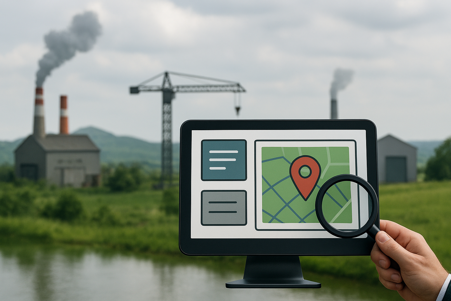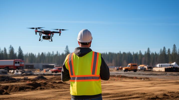
GIS and mapping services are increasingly adopted by many construction offices all over India. But some road construction companies still rely on their workers to grab tape measures and walk around sites the old way. This costs too much money and makes everyone frustrated. Picture workers spending entire days drawing lines by hand. Storm clouds roll in. Traffic gets worse by the hour. Drone-based surveillance changes everything by cutting costs and saving time. India’s highway department now tells all builders to use drones every month to record their progress. Flying cameras are not going anywhere.
1. How Do Drone Surveys Speed Up Road Planning Before A Single Tree Is Cleared?
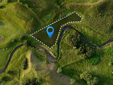
Road planning used to mean guessing where problems might hide. A fast topographical survey by drone lights up the entire area like a spotlight. It spots hills, streams, and special sites all in one detailed view. Designers can shift the road route with a simple mouse click instead of moving bulldozers and excavators later.
2. Can Drones Find Cut And Fill Mistakes So You Do Not Move Dirt Twice?
GIS and mapping services match your design plans against actual ground conditions after each drone flight. This spot volumes mistakes before the first truck rolls out. Regular aerial checks catch errors that used to stay hidden until heavy equipment broke down.
These benefits help:
- Check dirt amounts: New maps show up with a few clicks.
- Teams work together: All workers see the same ground info.
- No waste: Smart dirt moving keeps trucks close and saves gas.
3. Will Weekly Drone Maps Keep The Crew On Schedule And Away From Penalties?
Penalty fees can kill construction profits. Regular aerial maps in your GIS mapping services dashboard paint progress in bright colors. Project managers can jump on problems the moment they appear. Smart scheduling pays off when you stay honest about progress.
This honesty helps:
- Early warnings: Missed work shows up fast, so teams can fix it.
- Good updates: Road bosses check work from their office. No surprise visits.
- Happy crews: Workers see their good work on screen, which boosts their confidence and inspires them to work harder.
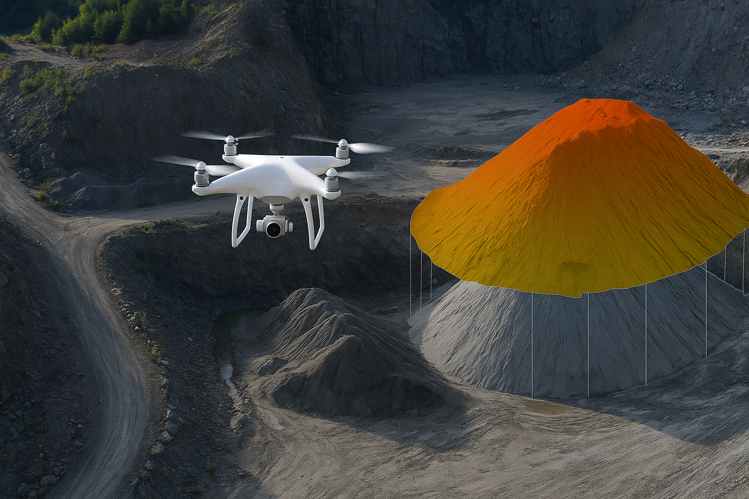
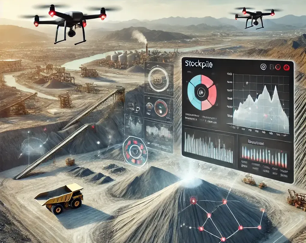
4. How Can Aerial Stockpile Scans Stop Material Waste On Aggregate And Asphalt?
Buying rocks and concrete feels like guessing with your eyes closed. New scans from GIS and mapping services show exactly how much material sits in each pile. Buyers can order the right amount every time. This stops waste and cuts down on boring paperwork.
Main benefits:
- Exact counts: Real measurements replace guessing.
- Fast reports: Size info reaches the money person by lunch.
- Fair bills: Buyers and sellers see the same numbers. No more disagreements.
5. Do Drone Inspections Really End Lane Closures During Sign Checks?
Stopping traffic costs money and makes drivers angry. Teams using GIS mapping services with drone-based road & infrastructure monitoring can check road signs safely from the office instead of blocking traffic lanes.
No-traffic-stopping wins:
- No road closures: Traffic keeps moving while work gets done.
- Safer workers: People avoid working near moving cars.
- Fast checks: Clear photos reach engineers in minutes for a quick yes or no.
6. Can Drones Spot Potholes Early Enough To Shrink Repair Budgets?
Heavy trucks and rainstorms damage Indian roads. Flying cameras catch road craters before they get big. This gives authorities time to fix them when the weather is good.
Early fix benefits:
- Find problems fast: Special cameras catch tiny cracks that people miss.
- Fix smart: Workers fix the worst holes first, not just the loudest complaints.
- Roads last longer: Quick fixes make roads last longer and save money later.
7. How Does Timestamped Drone Imagery Finish The Job And Settle Disputes?
Project meetings drag on forever when people remember different things. Steady drone photos keep everyone honest about what really happened. Experienced managers know that clear pictures turn heated arguments into simple checklists. GIS and mapping services put every step into one smooth process. This goes from the first scan to the finished project. If you want drone help without buying expensive gear, Oxbow Intellect can fly, map, and give you the info you need. Just call us and see how flying views keep ground costs low.