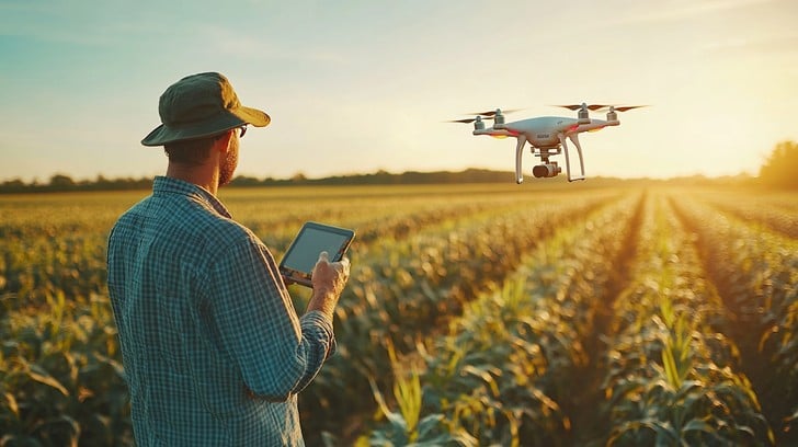
The farming sector is witnessing a quiet revolution with the use of the latest technologies. One such technology that is becoming very popular due to the range of benefits it offers is the use of drones.
These flying robots help the agriculture sector in different ways. They help farmers to see any problem much earlier, which allows them to take the required steps to solve the issue and grow better crops. Here is a list of reasons why farmers are increasingly relying on drones to make their farming better.
1. Checking Crops from the Sky
Drones have special cameras that can see things over a vast area quickly. When drones fly over crops, they take pictures that show healthy plants in green and sick plants in red or yellow. This helps farmers know exactly where their crops need help. Farmers can then add water or plant nutrients only where plants need them most.
2. Finding Problems Before They Get Big
Drones can spot bugs and plant diseases weeks before farmers would see them walking through fields. When farmers find these problems early, they can fix just the sick areas instead of treating the whole field. This saves money and keeps the soil healthy.
3. Using Less Water and Chemicals
Drone pictures help farmers put fertilizer, bug spray, and water exactly where crops need them. Farmers who use this smart method use fewer chemicals while still growing healthy crops. This keeps rivers and underground water clean. Smart watering based on drone pictures can save farmers lots of money on water bills.
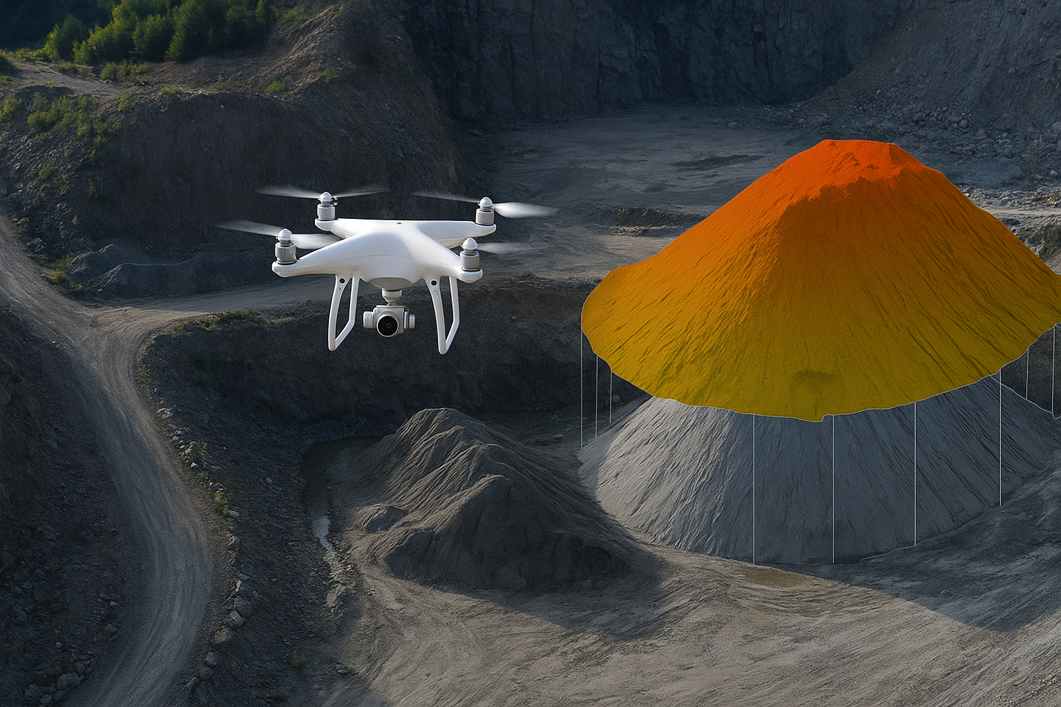
4. Checking Fields Super Fast
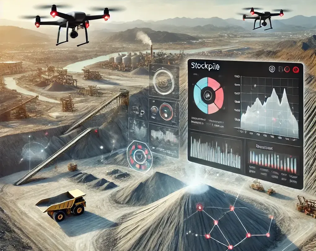
Just a single individual using a drone can scan hundreds of acres within a few hours. It would take a lot of people a number of days to walk the same area! The drone can be programmed by farmers to fly the same route each time, so it is simple to observe the development of crops over time. Drone inspections enable farmers to repair storm-damaged areas, weeds, or dry areas before they grow into large issues.
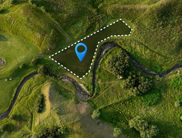
5. Making Maps and Plans for the Farm
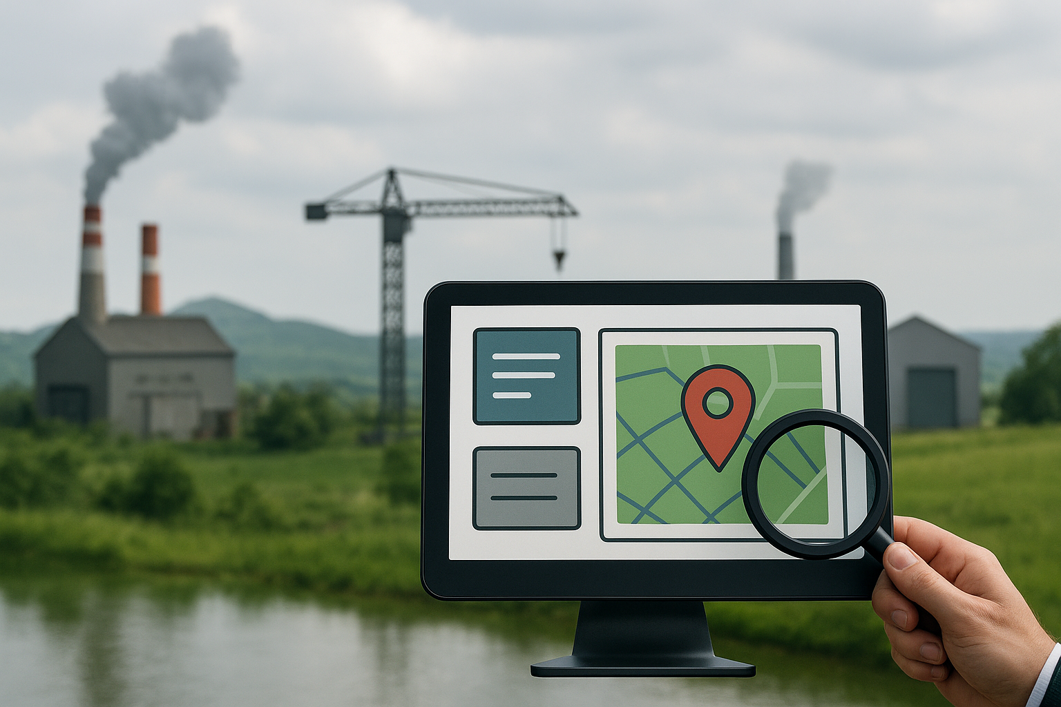
Drones create detailed topographic surveys that show hills, low spots, and how water flows across the land. Special companies like Oxbow intellect that offer GIS mapping services turn drone pictures into helpful farm maps. Regular UAV-based land surveys keep these maps up to date. Professional GIS & mapping services help farmers make smart choices about land management. This helps them waste less and grow more food.
6. Keeping Workers Safe
Steep hills, muddy fields, and areas with strong chemicals (pesticides) can hurt farm workers. Drones can fly over these places instead of people walking through them. Workers stay safe while drones do the checking. Farms can keep working even during bad weather without putting anyone in danger.
7. Watching Animals from Above
Camera-equipped drones also enable ranchers to monitor cows, sheep, and other animals on large pastures. The cameras can detect injured animals immediately, which allows farmers to assist them promptly. Drones with infrared cameras can fly at night and monitor wild predators that may harm the farm animals. This assists the farmers in taking better care of their animals and losing fewer of them.
8. Planning When to Harvest
Smart computer programs look at drone pictures, detailed land survey & mapping data, and guess the best time of harvesting and the likely crop yield. This enables farmers to know when they will need workers, trucks, and buyers. Good planning means that less food ends up in the bin and farmers can earn a higher income.
Conclusion
Drones also assist farmers in other ways, including producing superior crops and securing their livestock. With tools like GIS mapping and cameras that spot problems early, these flying helpers turn regular farms into smart, sustainable businesses. Farmers who fly drones will be capable of planting more crops, making more money, and protecting our planet more efficiently. Learn more by contacting Oxbow Intellect. We tailor our drone-based solutions to your specific agriculture needs.