


Supported By

Scheme

Startup Category

Focus Sector

What OxLand Agri Aims to Achieve
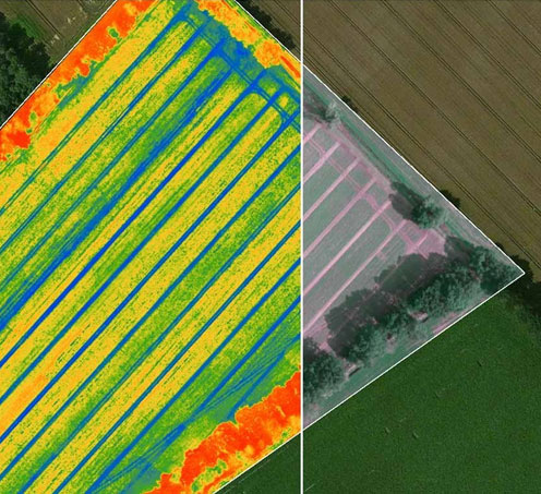
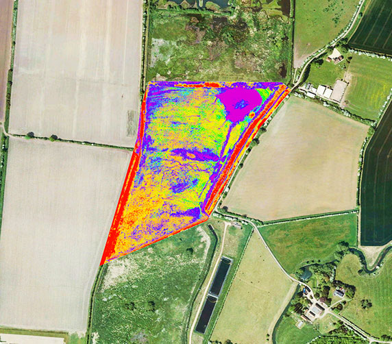
OxLand Agri is designed to simplify, monitor, and manage Land Acquisition and R&R (Resettlement & Rehabilitation) activities involving agricultural land. The platform leverages advanced geospatial analytics to distinguish agricultural lands based on cropping intensity (single, double, or triple crop) and integrates these insights with accurate cadastral datasets.
As agricultural land acquisition in India is often complex and fragmented, OxLand Agri provides a transparent, factual, and data-backed record of actual land use, helping government agencies, industries, and investors make informed and responsible decisions.
Solution Overview Why Oxland Is the Trusted GIS Partner for Future-Ready Infrastructure
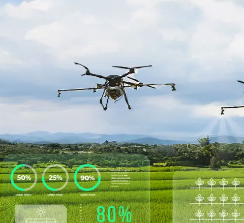
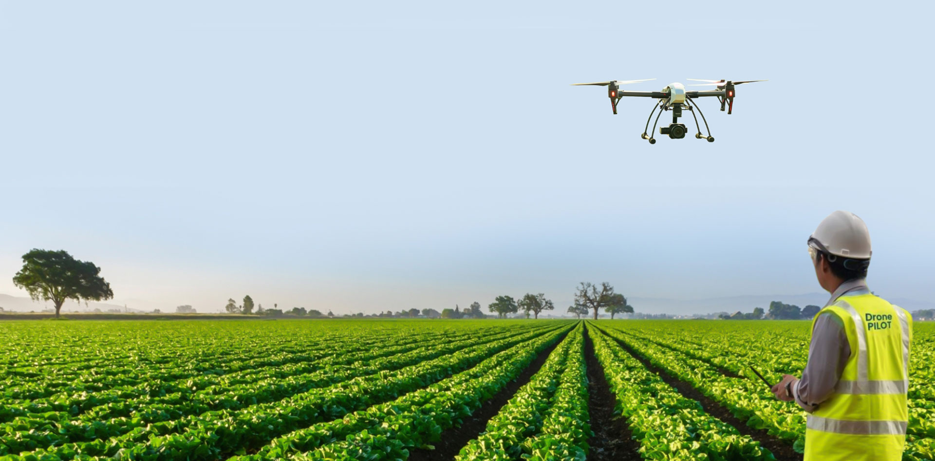
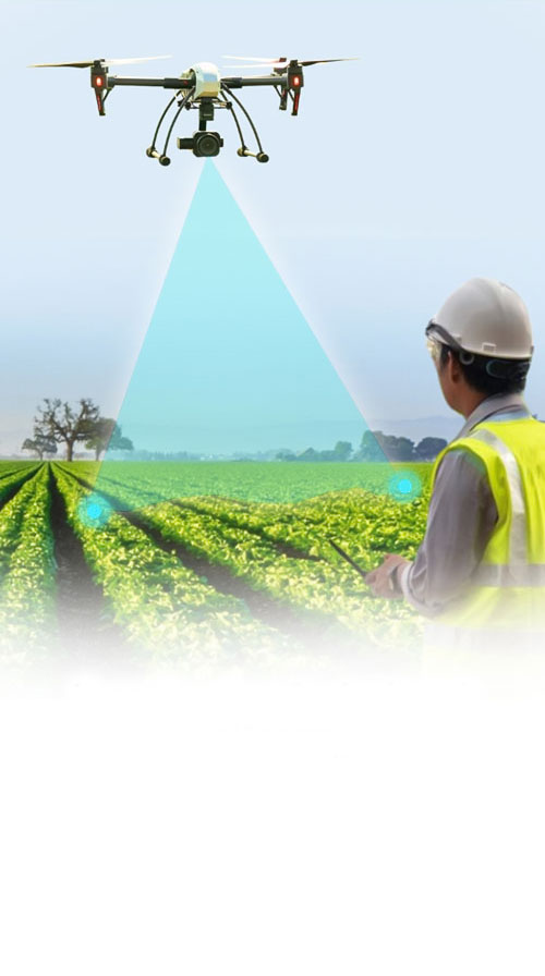
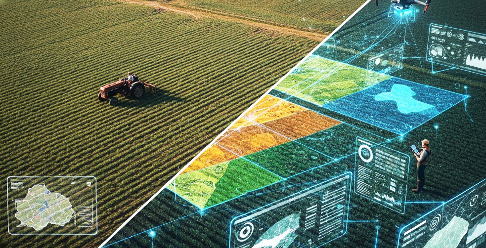
OxLand Agri integrates remote sensing, UAV data, and GIS mapping to provide a unified platform for real-time agricultural land assessment. It consolidates multiple datasets—satellite imagery, cadastral boundaries, ground-truthing records, and GDI-based layers—to create a precise, dynamic map of land utilization.
The solution ensures accuracy in land acquisition processes, enabling better planning, compensation assessment, and compliance with sustainability goals.


Meet Our Leaders
The solution ensures accuracy in land acquisition processes, enabling better planning, compensation assessment, and compliance with sustainability goals.

Smriti Ranjan Ghosh


Arghya Sharma

Saheli Bhadra
Smriti Ranjan Ghosh
Arghya Sharma
Saheli Bhadra
Supported By

Scheme
Startup Category
Supported By


Impact &
Outcomes
OxLand Agri integrates remote sensing, UAV data, and GIS mapping to provide a unified platform for real-time agricultural land assessment

Vision Setting
Enhanced transparency in agricultural land acquisition

Resource Planning
Faster and evidence-based decision making

Timeline Creation
Improved efficiency and reduced disputes· Local government adoption for pilot evaluation

Risk Assessment
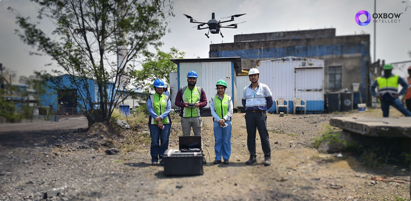
Employment generation through tech-enabled survey operations

Resource Planning
Ground data validated with >90% accuracy
Gallery
Field Progress
OxLand Agri integrates remote sensing, UAV data, and GIS mapping to provide a unified platform for real-time agricultural land assessment
Roadmap Development Phases
Three critical stages that transform ideas into actionable project plans

Discovery Phase
Expansion of pilot to additional districts Integration with state-level land management systems
Planning Phase
We’re focusing on more geospatial datasets integration to enhance accuracy and decision-making.
Execution Phase
Roll out the solution to more stakeholders/ users
© Oxbow Intellect. 2026 All Rights Reserved